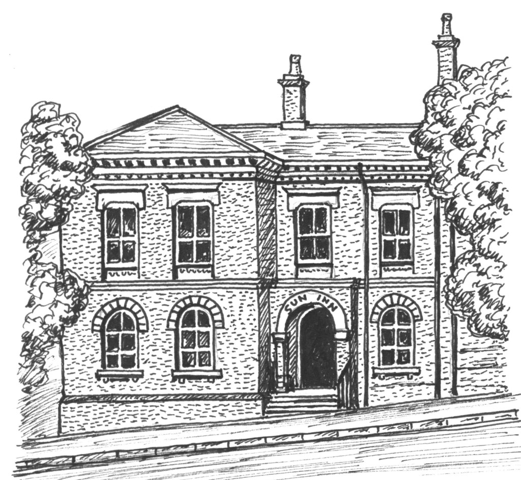
The Sun inn Eastwood. Birthplace of the Midland Railway.
A Brief History of Eastwood and Surrounding Area
A Brief History of Eastwood by J M Lee. The link takes you to the book on Amazon
There is a common misconception that many of the Nottinghamshire mining settlements arose, lived, and then declined in tandem with frenetic coal mining activity. Yet most predated the coal industry by hundreds of years. Eastwood is no exception. Its once venerable 13th century church is testament to that. The settlement goes back to at least Saxon times. Eastwood’s glorious “Map of the Manor” from 1736 shows the basic road layout at that time, much as it is now: a crossroads centred on what is now, and has been for some time, the Sun Inn, with arms to the north, south, east and west. It was almost all agricultural at that time, based still on the original English system of open fields, operated communally under the jurisdiction of a manor court. The present day Eastwood Hall did not exist then and there were no canals or railways. What we would today call roads were then just poorly maintained tracks. One passed through Eastwood from east to west–Nottingham off towards Derby. The road north towards Brinsley was so insignificant that it struggled to even warrant marking on the map. Eastwood’s vast common occupied most of the south east quadrant, between 3 o’clock and 6 o’clock, merging into Newthorpe common. On its western edge, Brookhill Leys Lane, later known as Church Street, sprawled downhill towards the Erewash. The early axis of civic life in Eastwood appears to have been along this line, The expansive development along Nottingham Road, driven by Victorian prosperity, had not yet taken place.
So Eastwood had an interesting life, before, during, and after the quest for coal. This account follows lines of historical interest rather than stick too rigidly to modern administrative borders. D H Lawrence is covered, but the driving force of the narrative is – the town itself.
